"Skydrone’s aerial shots transformed our project completely! The quality, precision, and cinematic feel truly made our visuals stand out."

Autorizados pelo INCRA, seguimos os padrões nacionais para levantamentos topográficos e cartográficos.

Aprovados para operar e validar mapeamentos com tecnologia de alta resolução em territórios portugueses.

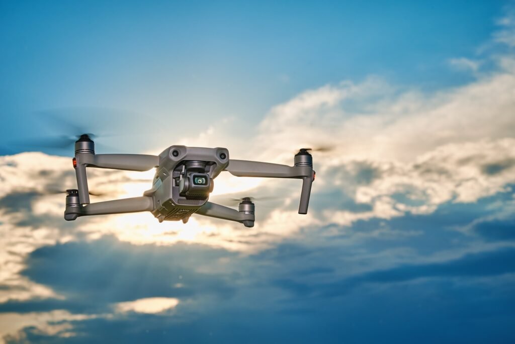
We comply with EASA regulations for safe and certified drone flights

Homologados para executar e entregar projetos de mapeamento e análise espacial em grandes áreas nos Estados Unidos.
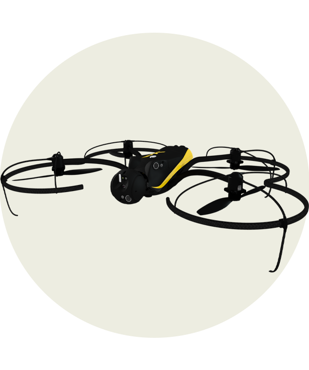
Capture every detail with a high-resolution 20 MP camera for crisp and vibrant shots
Record ultra-smooth 4K @60fps footage with rich colors and cinematic-level clarity.
Stay airborne for up to 32 minutes, ensuring longer and more dynamic aerial captures
Fly confidently with a 7 km transmission range for stable, long-distance exploration
Capture stunning 48 MP images with rich details and vibrant colors for any scene.
Shoot ultra-smooth 4K video at 60fps with HDR support for cinematic visuals
Enjoy extended 34-minute flight time for capturing more dynamic aerial content
Experience stable, long-distance flights with a reliable 10 km transmission range.
Capture precise 12 MP images, ideal for industrial and mapping applications
Record high-quality 4K footage at 30fps with advanced stability and clarity
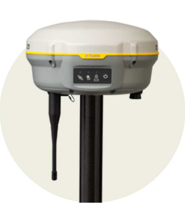
Maximize efficiency with an impressive 55-minute flight time for long operations
Cover vast distances with a 15 km range, ensuring reliable performance in any mission
Take sharp and detailed 20 MP aerial images with Hasselblad’s advanced sensor
Capture professional 5.1K footage at 50fps for stunning cinematic quality
Stay in the air longer with a 46-minute flight time for uninterrupted creativity
Explore further with a 15 km transmission range for stable and clear connections
"Skydrone’s aerial shots transformed our project completely! The quality, precision, and cinematic feel truly made our visuals stand out."

"Their drone service exceeded our expectations! The stunning aerial shots and smooth video footage brought our marketing campaign to life."

"Professional, skilled, and detail-oriented! Skydrone captured breathtaking aerial shots that enhanced the appeal of our real estate listings."

"Skydrone delivered beyond what we imagined! The aerial footage from our event was sharp, and added a whole new perspective to our coverage."

“From consultation to final delivery, Skydrone was outstanding. Their high-quality drone footage gave our documentary a stunning and amazing."

"I was amazed by Skydrone’s expertise! The drone shots added a unique and breathtaking perspective to our wedding video, making it truly unforgettable."

"SkyDrone's mapping service was a game-changer for our construction project. The detailed aerial surveys helped us plan efficiently and avoid costly mistakes."

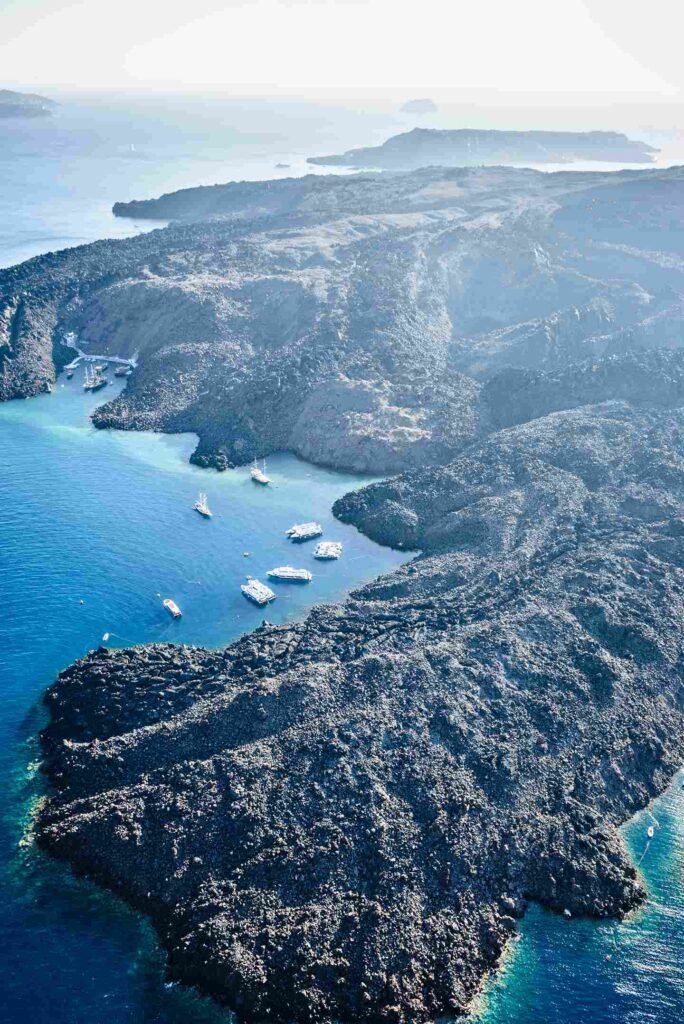
"Our wildlife documentary needed stunning aerial shots, and SkyDrone delivered beyond expectations! The crisp footage truly captured nature’s raw beauty."

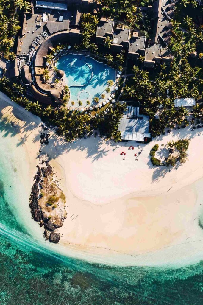
"We needed high-quality drone footage for our resort in our capital city, and SkyDrone exceeded our expectations! The stunning aerial views truly showcased our paradise."